Basin wiki · Places
Joshua Tree National Park
JTNP · Joshua Tree National Monument (1936–1994)
A national monument in 1936, a national park since October 31, 1994. Two deserts, and the reason Highway 62 gets crowded.
What changed in 1994
The California Desert Protection Act abolished Joshua Tree National Monument and established Joshua Tree National Park, adding former Bureau of Land Management land and designating wilderness. The statute is Public Law 103-433, signed October 31, 1994. Boundaries and wilderness rules you meet on the ground start there. The park’s history page is the narrative companion to the bill.
Two deserts, plus a woodland
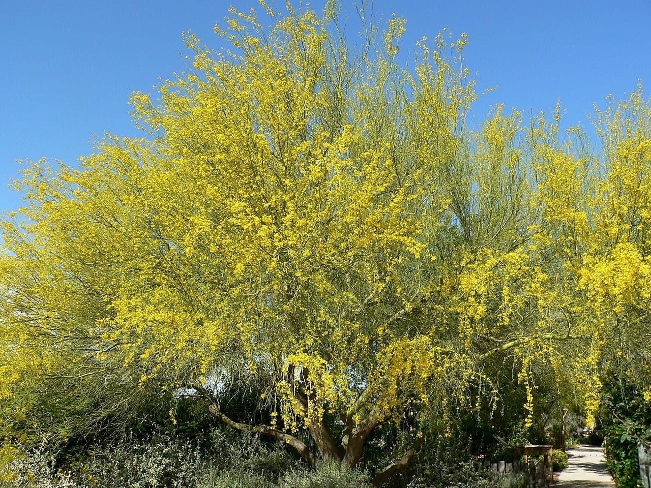
The park’s plant guide splits the ground. Joshua trees mark the higher Mojave west and north. The Colorado Desert, a western piece of the Sonoran, occupies the south and east: ocotillo, palo verde, ironwood, and teddy-bear cholla. Above about 4,000 feet at the west edge, California juniper, oak, and pinyon take over. A drive from the West Entrance to Cottonwood is two climates, not one backdrop.
Gates and the basin towns
The West Entrance is in the community of Joshua Tree. The North Entrance, the Oasis Visitor Center, and park headquarters are in Twentynine Palms, beside the Oasis of Mara. Cottonwood, the south gate, comes off I-10 and does not funnel through the basin. Weekend visitation shows up as traffic on Highway 62, full trailhead lots, and short-term rental pressure in the gate towns.
Heat, fees, and the morning check
Use the park’s conditions page the morning you go. People get into trouble from heat and from too little water, especially on summer hikes that looked short on a map. Carry more water than a coastal day hike. Campgrounds reserve out. Alerts for roads, storms, and fire change faster than any printed guide, and fee rules change too. The plan-your-visit page is the one to trust over a blog.